Engineering Consultant, Surveying and Road Works Inspection
- Topography in General
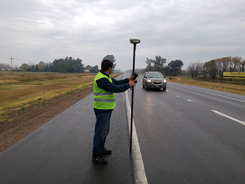
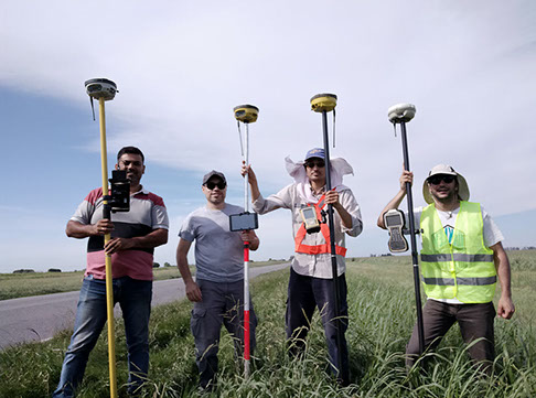
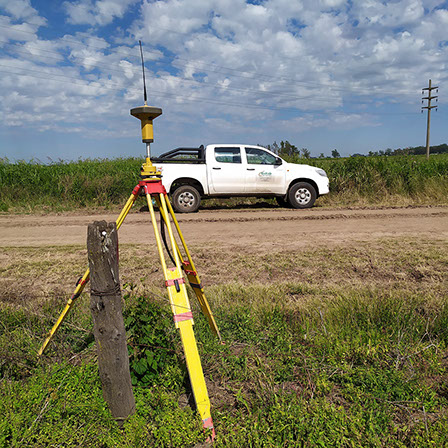
- Survey
- Stakeout
- Tachymetry
- Bathymetry
- Digital Terrain Model
- Contour Lines
- Volume Calculation
- Leveling / Grading
- Polygonal Support
SURVEYING SERVICES
Topographical Surveys
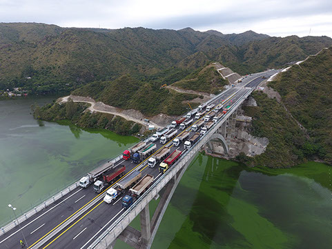
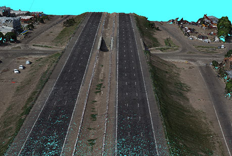
Photogrammetry and 3D models using Drone
Aerophotogrammetric surveys with Drone, which allow the generation of three-dimensional models and georeferenced orthophotos from post-processing with specific software.
- Surveys of engineering and architectural works
- 3D terrain surfaces
- Georeferenced Orthophoto


Special Surveys
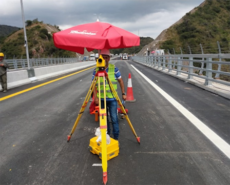
- Levelling in Bridge Load Test